
The Outback Way - A Great Central Road across Australia
It’s a 2,700km ‘shortcut’ through the Heart of Australia that links Queensland to Western Australia via a great central road and it will take you past iconic landmarks, through remote Aboriginal communities and isolated Outback Stations, and through some of the most spellbinding and unique desert areas. The surprise is that you can drive this route in 7-days and yet still have time to pull over and enjoy some top experiences.
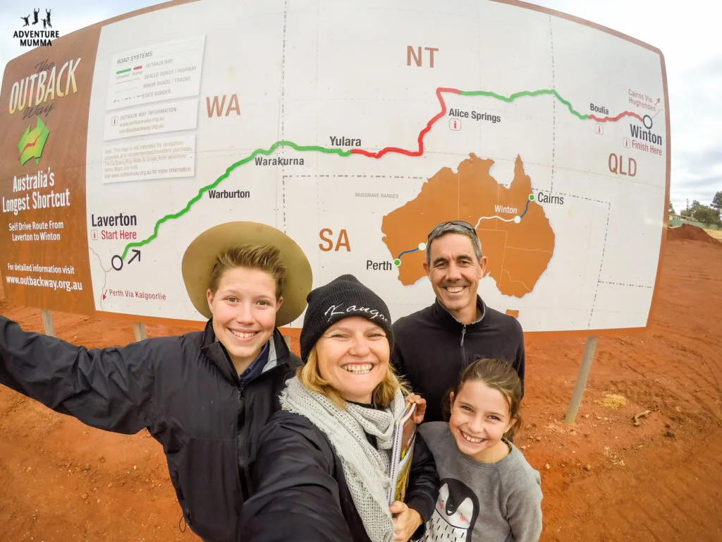
The Outback Way is an Outback crossing like no other
The best part?
It’s doable even if you don’t have any 4WD experience and yet you will feel like you’ve accomplished a journey of epic proportions. Because you would have. Travellers here are few and far between, although you will spot the odd road train, grader and station worker. This route only gets busy when you venture back into tourist hotspots.
Just note, the Outback Way is really only suitable for 4WD or high clearance all wheel drive vehicles and off-road campers and caravans. While there are some short sealed sections around the townships, there are hundreds of kilometres of gravel which can deteriorate quite quickly. To stay up to date on the travel conditions
For road conditions Queensland travellers can access information by phoning 13 19 40 or visiting the 13 19 40 website.
Drive from one side of the coast to the other via the Outback Way
Where do you start?
Well take your pick. This route essentially connects the East Coast with the West Coast minus all that traffic that the major routes carry. The road is graded and maintained regularly and over 1300km is already sealed, with 1500kms due to be sealed by 2020.
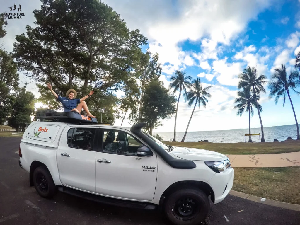
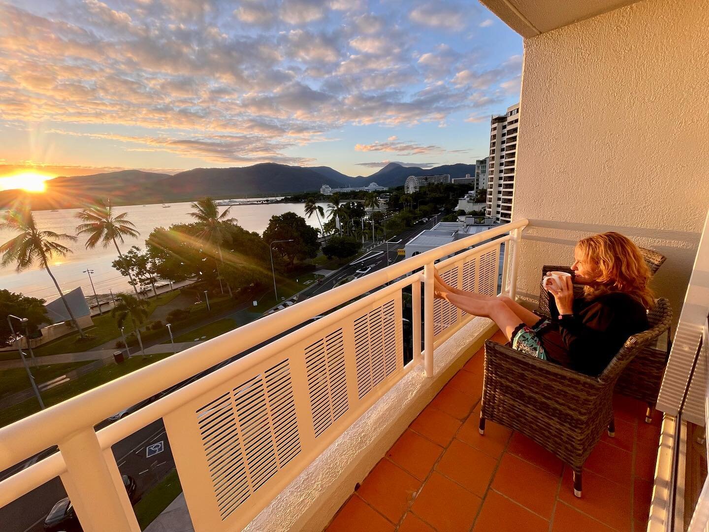
For us, it was an easy choice. We live in Cairns and we were looking forward to leaving the East Coast , heading into the Outback and arriving at Perth on the West Coast.
This great ‘central’ road takes you directly across the continent and is touted as Australia’s Longest Shortcut. Drive it to explore Australia’s hot spots without the need to do the classic ‘Big Lap’. If you’re flexible and have a choice then head East to West - that way you’ll always begin your morning drive with the sun behind you.
DAY 1 & 2 - Cairns to Winton (943km)
There’s a few routes that will take you from Cairns to Winton, The Outback Way’s official starting point. One way is to drive to Charters Towers from Cairns via the coast road (sealed) which will take you through Townsville. And then head West along the Flinders Highway, a fully sealed double lane highway with only a few narrow parts.

You get wicked views of Townsville from the top of Castle Hill
If you prefer less traffic, then travel the inland route via the Lynd Junction on the Kennedy Development Road. You can travel the majority of the way via the Kennedy Developmental Rd but be aware that there will be some unsealed sections before you hit Hughendon.
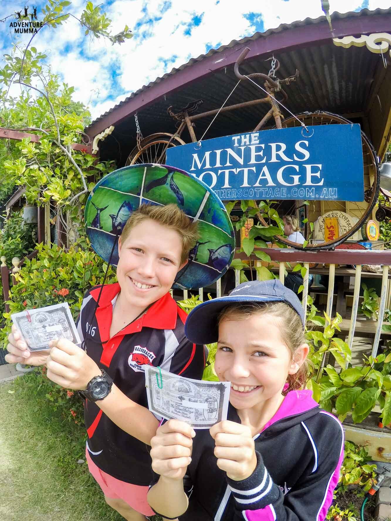
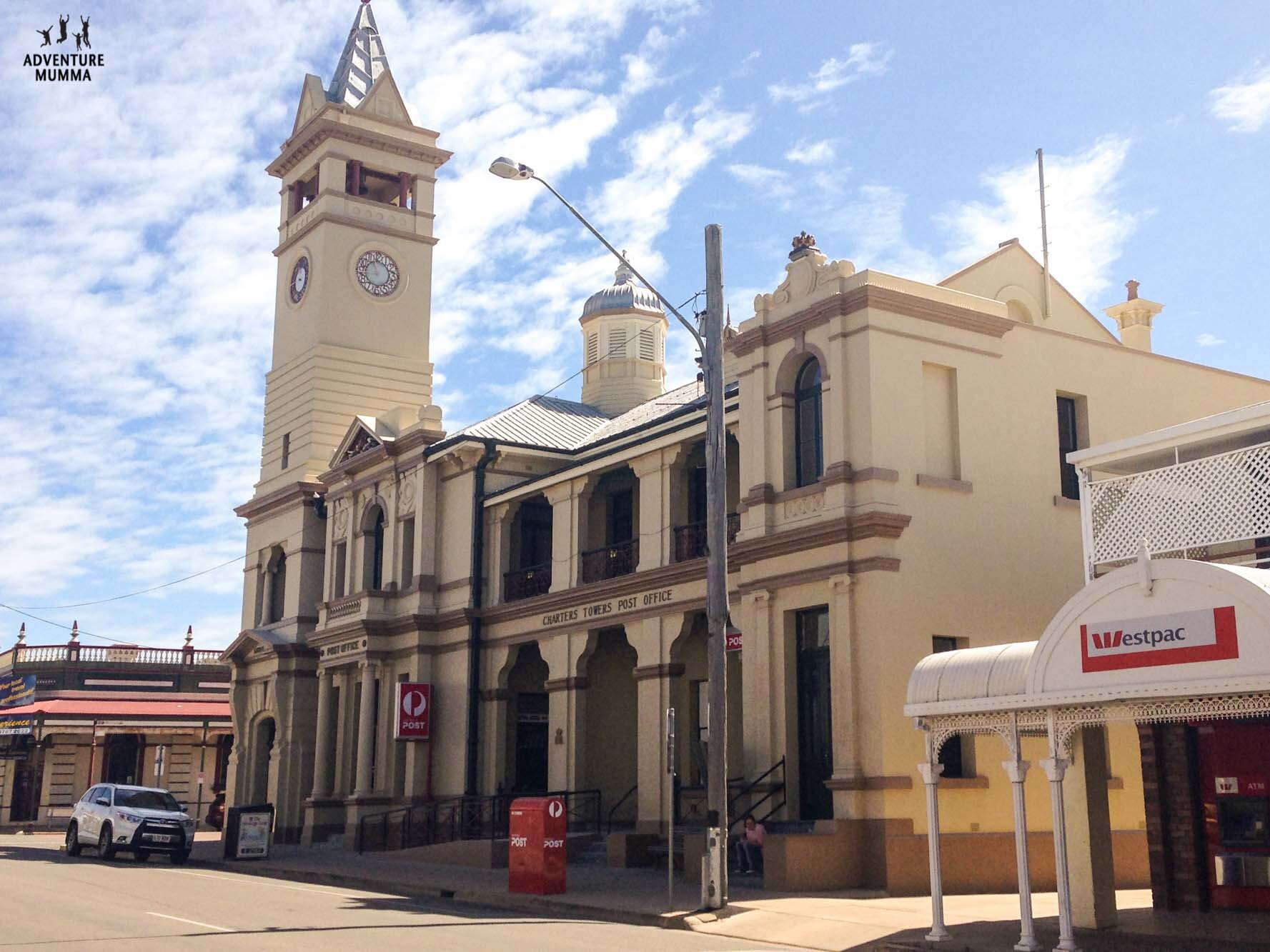
Either way it’s best to take a break somewhere along the route. Charters Towers worked for us as we chose to drive the coastal sealed highway and headed into the outback via Townsville.
At Hughenden you can head south towards Winton on the Kennedy Developmental Rd which is sealed along this section, although it is narrow in some sections.
DAY 3 – Winton to Boulia (361km 4-5hrs)
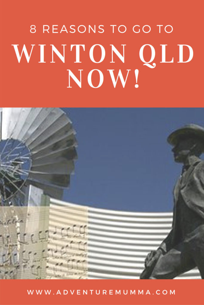
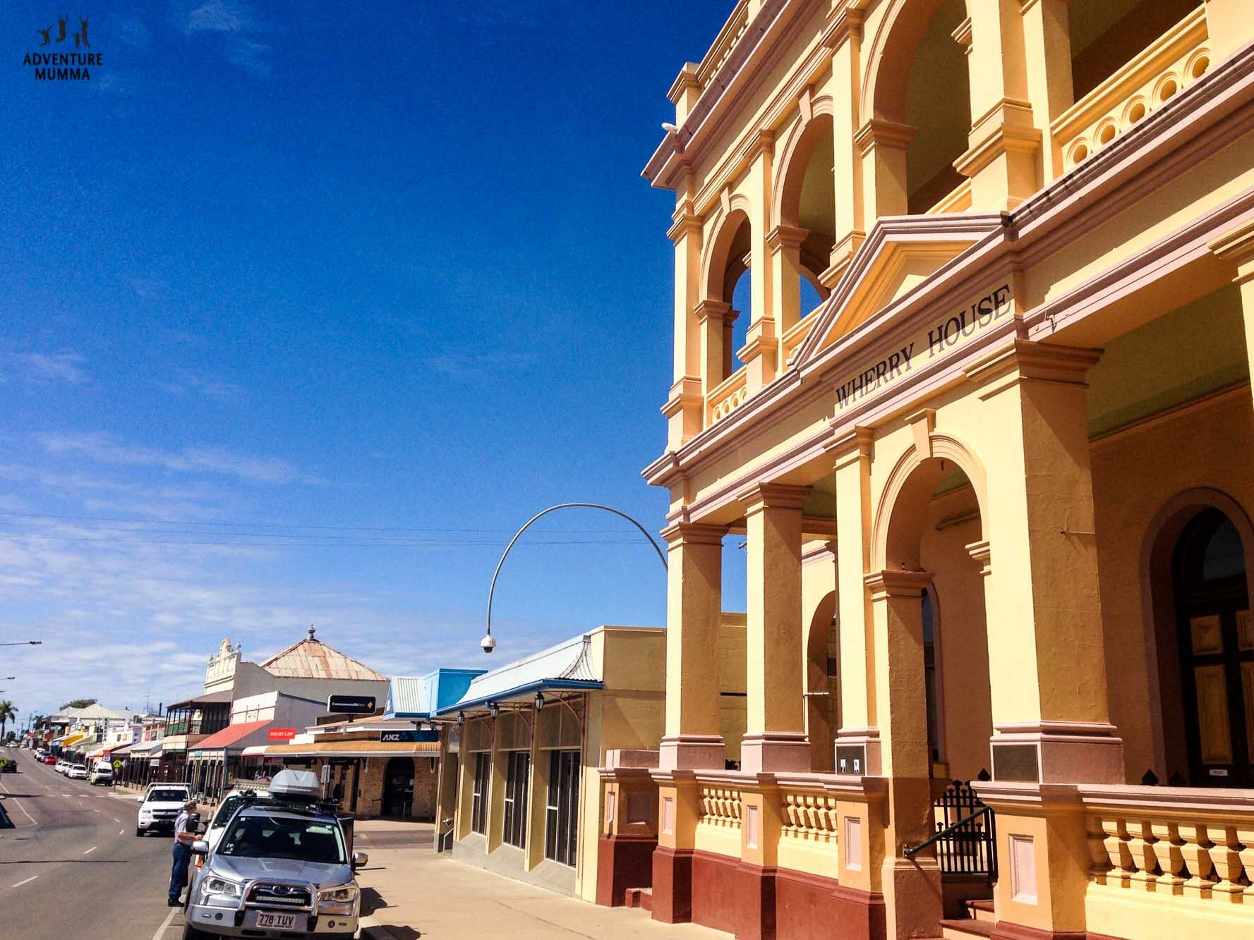
Take a day or two to explore Winton before heading off on your journey. This is the birth place of Waltzing Matilda and there are plenty of signs of Banjo Paterson’s presence with a brand new interpretive centre that was completed in 2018. READ MORE about Winton here >> Who’ll come a Waltzing Matilda with me?” 8 Reasons to go to Winton Qld now!

Interior of North Gregory Hotel
At the North Gregory Hotel you’ll find the piano that played the first version of Waltzing Matilda to the public, glass doors depicting the local story, plus resident bush poets and chicken races to entertain you in ways unique to the outback.
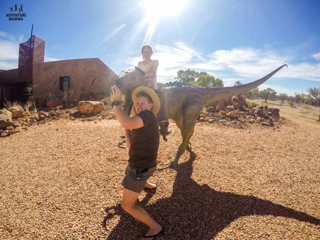
Kids playing at the Australian Age of Dinosaurs
Just out of the township of Winton lay monumental dinosaur discoveries that are on display in a style that befits a major tourism drawcard. Tracks of stampeding dinosaurs lay preserved in bedrock in a state of the art building and a canyon walkway recreates what life was like in prehistoric days. You can even be part of history and volunteer your time to unearth prehistoric bones which keep being discovered around the region.
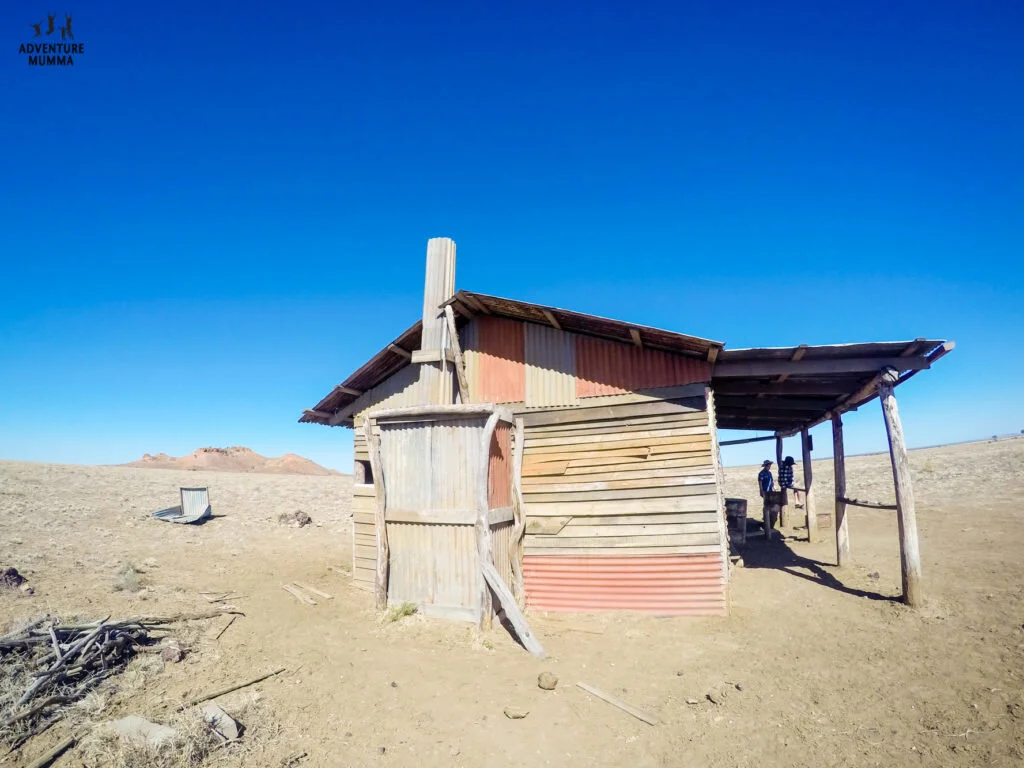
Remnants of the movie ‘Goldstone’ filmed entirely in the Middleton area in 2015
When you finally decide to head out of town towards Boulia make sure you stop and checkout a scene from the Australian movie Goldstone – it’s a ramshackled hut preserved by the outback dust and set on an extraordinary plain with rocky outcrops in the background. Just down the road from here the 4th Cobb and Co pillar, a changing post for the coaches at Middleton, a one-man township (or three during the busy season). You’ll find a pub and across the road, the Hilton Hotel, a free camping area where the million star views are complimentary.

The view from Cawnpore Lookout
Further down the road, pull in for the views at the Cawnpore Lookout and try to recreate in your mind how this area looked when the inland sea kept these plains flooded for millions of years. Then push through to arrive in Boulia before dusk to see the Min Min Encounter at the Visitors Information Centre rather than on the roads at night like many have done in the past around here.
Other Highlights:
Winton
Watch a movie at the Open Air Theatre
Play a beat on the Musical Fence
Enjoy a meal at the Tattersalls Pub
Visit the General Store – an Outback institution
Boulia
Taste the camel beer and burger at the main pub
Visit the Stone House and Museum
Purchase an outback print from the Ann Britton photo gallery
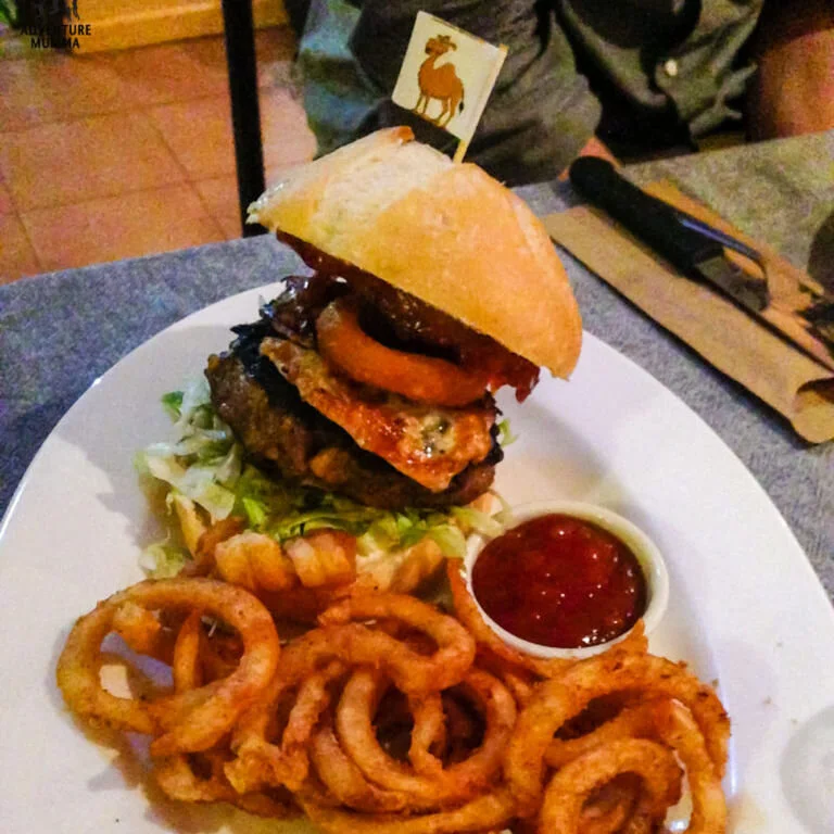
Anyone for a camel burger??
DAY 4 – Boulia to Gem Tree (600 km 6.5 hrs)
Heading off across the channel country towards the NT Border keep your gaze on the expansive horizon where you’ll find cattle, brumbies, camels and roos loosely dispersed across this treeless landscape.
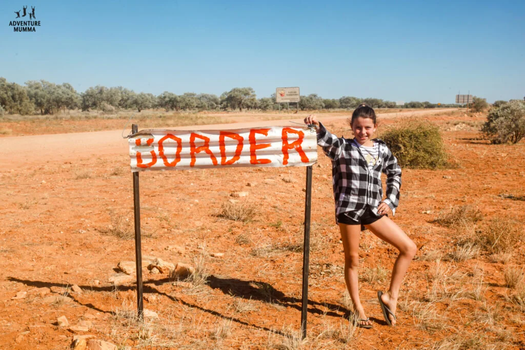
Found the NT/QLD Border!!
Pastoral stations are few and far between now and your main stops will be all about refueling and stretching your legs.

Can you spot the high tide mark at Tobermory Station?
Keep an eye out for those quirky elements you come to expect of the outback - Tobermory Station has a dinghy sitting high and dry in a tree marking its highest floodwaters and Jervois has the discards of Woomera rockets scattered around their refueling pumps.
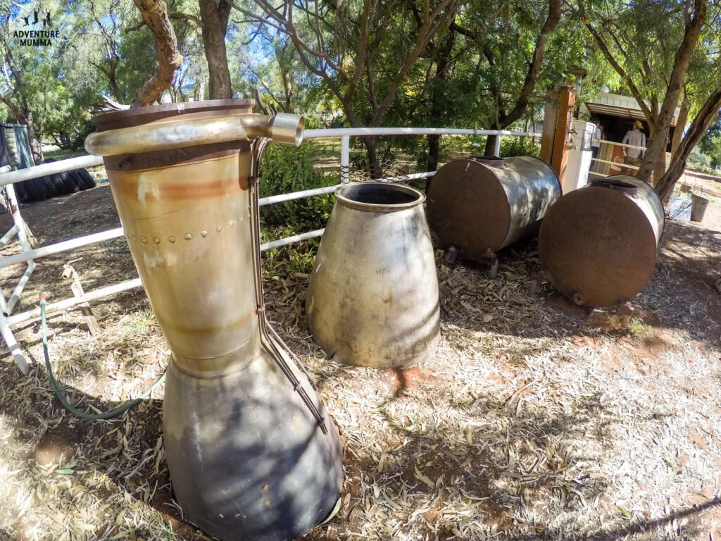
Fill up at the servo & you might find a couple of ‘rockets’ hanging around too
To add some more interest to this part of the route you may want to start searching for Geocache’s in earnest – the Outback Way finder trail is easily the world’s longest treasure hunt. There are cache’s located at sites all along the route and each have a unique natural, cultural, historic or scientific interest - between Boulia to Gem Tree there are six to find.

We struck GOLD!! …or a Geocache box in this case.
As you leave Jervois and drive towards Harts Range the eastern extent of the MacDonnell Range will come into view, a topographical relief from the red soil and open scrubby woodland of your surrounds. Push on through to Gem Tree and you’ll be rewarded by a hearty meal on their legendary (and award winning) camp oven nights.

Fine Dining under the stars at Gemtree
It’s a true bush experience as the whole family comes out to help serve and share their journey of their arrival five generations ago. As you sit under a million stars with a full stomach and fires blazing nearby you’ll start to soak up the fact you’re really in the outback now.
Other Highlights:
Gem Tree
Guided nature tour and gem fossicking tours
Gem tours, gem sales and gem cutting
Fossicking also available nearby at the Mt Johnson range
Also along the Plenty Highway
Indigenous art workshop-gallery at Atitjere
Legendary Harts Ranges Race day held annually in August

Taking a break & taking in the views
DAY 5 – Gem Tree to Alice Springs (148km 2-hrs)
It’s only a short drive on sealed road from Gem Tree to Alice Springs but you’ll want plenty of time in Alice to explore what’s on offer. The town is nestled in amongst the MacDonnell Ranges and you’ll get a good feel for the town’s layout from the lookout on Anzac Hill.

View from Anzac Hill
Check out Alice’s pioneer history by visiting the Old Telegraph Station, the Central Australian Aviation Museum and the Road Transport Hall of Fame.
Tour iconic outback facilities like the Royal Flying Doctor Service Base, the Ghan Railway Station, the School of the Air and don’t miss a stroll down Todd Mall to enjoy Alice’s thriving centre.

Todd Mall in Alice Springs
Nature lovers will love a visit to the Alice Springs Desert Park where rare and endangered animals live, or visit nearby natural habitats like Simpson Gap to see rock wallabies in the wild.

Trephina Gorge landscape
A drive along the Eastern MacDonnell Ranges will take you past a range of gaps and out to Trephina Gorge where’s there a number of walks that suit different levels. While you’re out there visit the historic Ross River Homestead for their legendary scones.

Ross River Homestead
For some indigenous culture the Araluen Arts Centre is a must with its indigenous art galleries. If you’d prefer to take in the indigenous art a la natural then drive south along the Old Stuart Highway to the Ewaninga Rock Carvings or book in the Rainbow Valley Indigenous Tour with Ricky to learn the stories of his people, see ancient tools and enjoy an interpretation of their rock art and carvings.
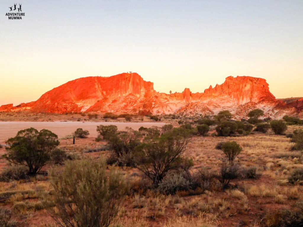
You can see where Rainbow Valley gets its name from at sunset
Linger longer to enjoy the sunset that lights up the multi-coloured bands on the rock and gives it its name.Other Alice Springs Highlights:
DAY 6 – Alice Springs to Kings Canyon (357km 8-hrs/475km 6-hrs)
Choose your route – follow the West MacDonnell Range east and explore a rich playground of waterholes, hiking trails and natural gorges or choose to travel south along the Stuart Highway and pull in at iconic roadhouses en route.

Standley Chasm, one of the many gorges along the Red Centre Way
If you travel via the Red Centre Way expect to hit dirt (and lots of corrugations) just before looping back towards Kings Canyon and the sealed road. Choose from stop offs like Standley Chasm, Big Ellery Creek, Orminston Gorge and Glen Helen.

Ginty’s Lookout give you some great views towards Kings Canyon
For extra views make sure you pull in at the Mt Sonder lookout (Finke River, MacDonnell Ranges and Mt Sonder) and Ginty’s Lookout, a ‘jump up’ that will give you commanding views of the Watarrka National Park (where Kings Canyon lays).
For those travelling south via the highway check out outback roadhouses such as Stuart Wells, Erldunda and Mount Ebenezer, the latter run and managed by the local aboriginal community with local art on display.

It gets busy during sunset at the Kings Canyon viewing platform
Ensure that you arrive at Kings Canyon with enough time to sit back and enjoy some sunset drinks and watch the colours shift across the nearby ranges.
DAY 7 – Kings Canyon to Uluru (320km 4-hrs)
Pay a visit to Kings Canyon before heading south to Uluru. Stretch your legs on the 6-km scenic rim walk and enjoy the greenery in the Lost Valley and a dip in the pools.

Stay on the track when exploring Kings Canyon
A helicopter tour of the canyon will give you a true birds-eye view of the canyon and its features.
A visit to a working cattle station is possible at nearby Kings Creek or further down the track at Curtin Springs. Kings Creek offer ATV tours, and an authentic bush tucker experience with the local Wanmarra community. Adventures at Curtin Springs include camel rides, walks and tours of the nearby Mt Conner and making handmade paper out of native grasses and natural ingredients.

Mt Conner, a tabletop mountain, tricks people all the time
Don’t be misled by Mt ‘Fool-eru’ along the route, Mt Conner is the first ‘monolith’ you’ll see on your journey through the low-lying landscape of spinifex grasses, sand-dunes and mulga bushes. When you first spot Ulura though, there’s no mistaking the rock’s distinct outline on the horizon.
DAY 8 – Uluru and Kata-Tjuta
You won’t want to hurry away from Uluru-KataTjuta National Park. Stay 2-nights at least to catch a sunset and sunrise, choose from the diverse range of activities on offer and explore a number of the walks around the park.

Ayers Rock is picture perfect
Inside the National Park, a visit to the Cultural Centre of the Anangu people (the traditional owners of Uluru and Kata Tjuta) is a must, to get a greater understating of their culture. Your day could easily be completely taken up with walks around Uluru and Kata Tjuta but you may want to fit in a camel ride, a scenic flight, a bush tucker experience or even skydive.

Getting up close to the Rock
As the evening closes in the park closes and you’ll need to make your way back to the Yulara, a town that services the National Park. Here you’ll find a range of accommodation options (including camping), retail shops, dining choices and even a post office, hairdresser and a supermarket (it’s a real town after all).

The Field of Lights is worth a look
A special mention should be made of the Field of Lights display, an art installation of solar powered lights that transforms the nightscape into a fairy-like canvas of coloured bulbs, balanced by the brilliance of the desert’s night sky. It’s a temporary fixture but thanks to its popularity the art installation will run until December 2020.
DAY 9 – Uluru to Warakurna (284 km – 4 hours)
Lose the crowds and drive past Kata Tjuta on the most direct route from Uluru to Perth. Those mentally preparing themselves for a massive 4WD experience across a barren landscape will be in for a surprise.

The road is wide, well graded & scenic
Instead you’ll find a highway-like road the width of four cars abreast accompanied by the Petermann Ranges which are in your view along the route.

Found Lasseter’s Cave…no sign of the gold though….
Areas of interest are Lasseters Cave – the final shelter of Greg Lasseter, a man obsessed with finding a reef of gold after his camels bolted, and Len Beadell’s road-side Plaque on the trunk of a ghost gum. In Len Beadell’s case, he not only explored the Outback but he also helped open up huge tracts of this country through his survey work and by creating iconic roads such as the Gunbarrel Highway.

Warakurna Artists – The real artists of the Outback
At Warakurna Roadhouse you’ll find fuel, supplies, accommodation and an Aboriginal gallery with artworks from the nearby Warakurna community. Purchase any of this handiwork and the money goes directly back into the community. READ MORE about Warakurna here >> Giving back to Aborigines today – Visiting an Indigenous Community.

Len Beadell’s mural at the Giles Weather Station.
The Giles Weather Station nearby is a must do, with all the original Len Beadell plaques on display, the grader used by the Gunbarrel Construction Company, some space ‘junk, and access to the Weather Station museum. And if you time it just right, the opportunity to see a weather balloon release (8.45am & 2.45pm).
DAY 10 – Warakurna to Laverton (780 km – 8 hrs)
Dead and abandoned cars will catch your eye along this leg of the journey but there is a noticeable improvement in the road conditions and the graded road is to a standard suitable for two wheel drive vehicles and caravans, though it’s still recommended for 4WD vehicles only.
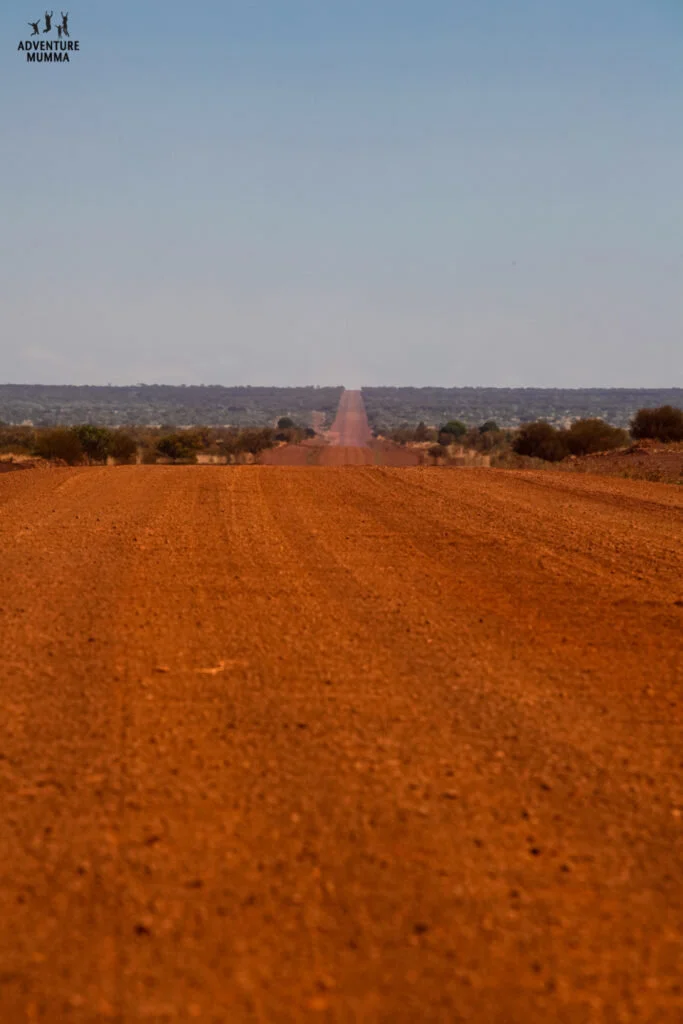
The RED dirt of an Outback Road
It’s a relatively short hop (227 km) to the next aboriginal community of Warburton, where you’ll find an impressive gallery displaying the work of the Ngaanyatjurra community. This is a permanent collection that highlights many of their important stories communicated by the artists, and the work has travelled overseas on cultural exchanges.

Tjulyuru Art Gallery Warburton
As you drive east towards Australia’s most isolated roadhouse , Tjukayirla (Chook-a-year-la) you’ll pass through the Great Victoria Desert. Small sand hills, spinifex, woodlands and the the occasional tree dominate the views. Enjoy the small section of bitumen just before you arrive at Tjukayirla Roadhouse, it also acts as an airstrip for the Royal Flying Doctors.
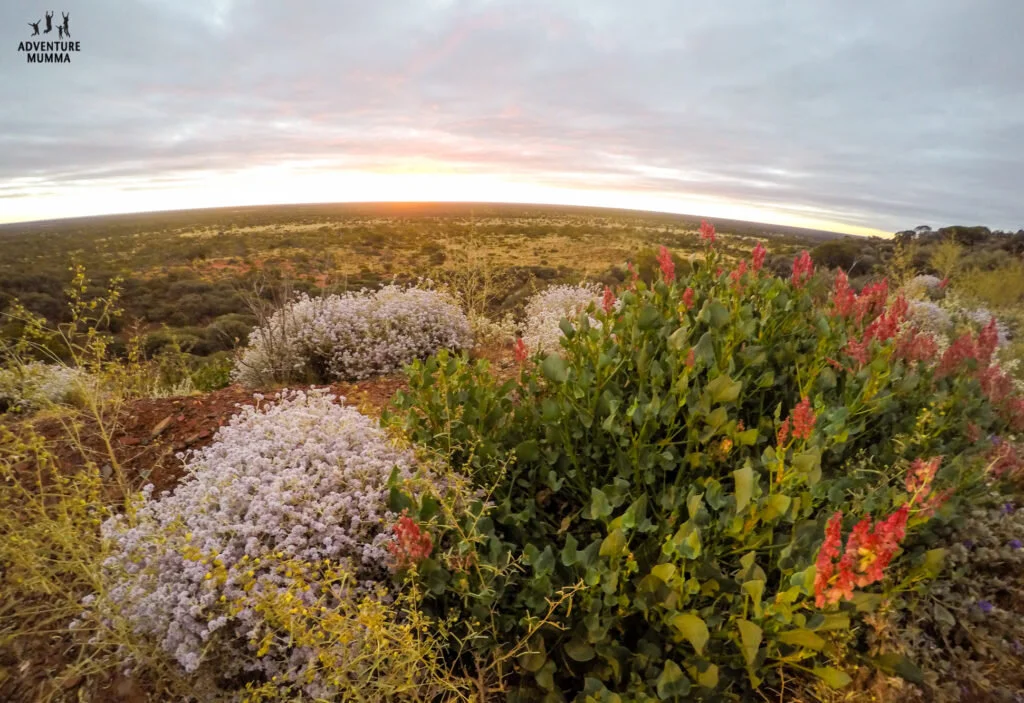
Don’t forget to take some time out to enjoy the scenery you’re driving through
Make the effort to check out a Gnamma Hole on your journey west. These deep narrow holes were often found in granite outcrops and acted like natural water tanks, providing life sustaining water to the Aborigines and early explorers. Apart from their uniqueness they’re also a good place to spot some extra wildlife.
DAY 11 – Laverton & surrounds
At Laverton a visit to the Explorer Hall of Fame is a must. The Discovery Centre tells the stories of the explorers and pioneers of the region in a way that’s guaranteed to capture your interest. The Visitor Centre has one of the best selection of outback books for sale and an extensive selection of Len Beadell’s books along with a great map selection, and REAL coffee.

Check out Laverton’s Hall of Fame in their Visitors Centre
There’s a lot happening in this little town and although the population now sits at around 300 there is plenty of evidence of its once booming past. Pick up the Laverton’s History Walk brochure and take a stroll past the old Coach House, the Police Complex and jail and walk along streets that once bustled with activity.
An hour down the road lies Leonara, a small town that has most of the original building of its gold-mining days.

Gwalia – Remnants of a once thriving community
Whilst here its worth checking out the abandoned Ghost Town of Gwalia, the corrugated make-shift houses the miners once lived in are open to the public and many have been refitted to allow you a glimpse into their former living conditions.

Herbert Hoover ran the Sons of Gwalia Mine back in 1898, a few years before he became US President
DAY 12 - Laverton to Kalgoorlie (359km)
Two things you’ll notice as you leave Laverton and head towards Perth. You’re back to driving on bitumen and the amount of traffic substantially increases. The Goldfields landscape subsists of saltbush and claypans, mine sites and open pits, fiery red sunsets and you share the road with mining vehicles and road trains hauling heavy loads.

Lake Ballard sculptures
Call in at Lake Ballard where an unusual art-scape is on display. Sculptured figures of the nearby town’s (McKenzie) inhabitants stand desolately on the Lake’s clay pans and make the landscape look alien like.

The Kalgoorlie Superpit at sunset
Kalgoorlie itself is a great spot to investigate the effects of large scale mining operations. The Super-pit can be viewed via the town’s lookout and you can also join a tour to understand the ‘inner-workings’.

Dwarfed by the machinery at Hannans North tourist mine
Hannans North Tourist Mine shows the history of mining in the area and has a wide a variety of machinery and artefacts on display, and plenty of hands-on fun for the kids too. READ MORE about Kalgoorlie here >> Dumptrucks, Diggers & Gold – Why Kalgoorlie is the Ultimate Boys Town.
DAY 13 - Kalgoorlie to Perth (952km)
We chose to do this leg in one hit. The roads were so good it was silly not to. Especially as we had friends in Perth and we wanted to spend time with them before our flight back to Cairns.
The road is amazingly good. It’s virtually a straight run from Kalgoorlie to Perth. Again the landscape goes through an amazing change - after all you are leaving Australia’s Golden Outback and heading towards the coast.
What’s really cool is that The Golden Pipeline runs beside the Great Eastern Highway (Route 94) for most of the journey. The Pipeline is over 100 years old and it takes five days for water to travel from Mundaring Weir, (in the Perth Hills) to the end of the line Kalgoorlie. Apparently it’s also the longest fresh water pipeline on earth.
Once again you share the road with mining vehicles and road trains hauling heavy loads like the odd dump truck. Trust me, you’ll want to pull over to let these pass.

King of the Road
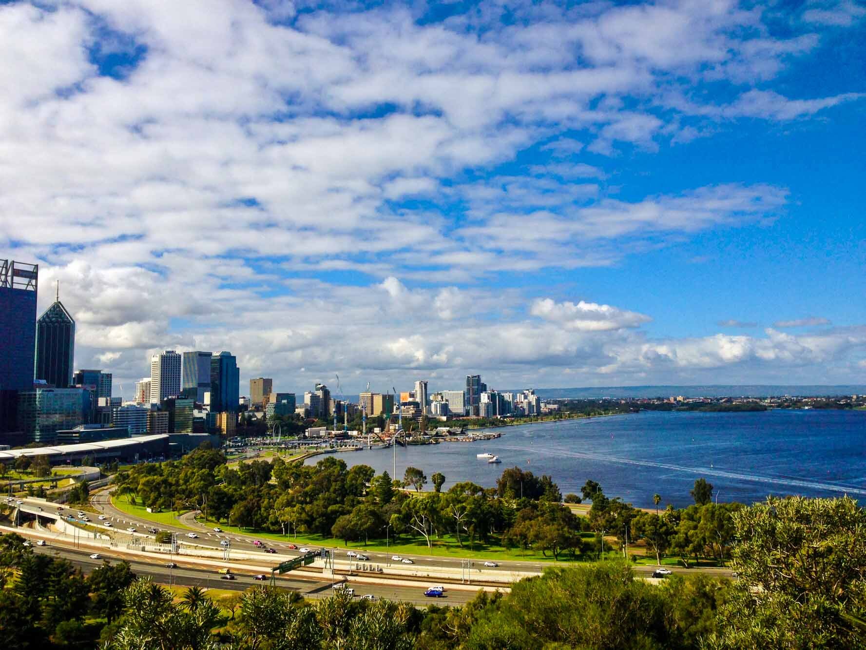
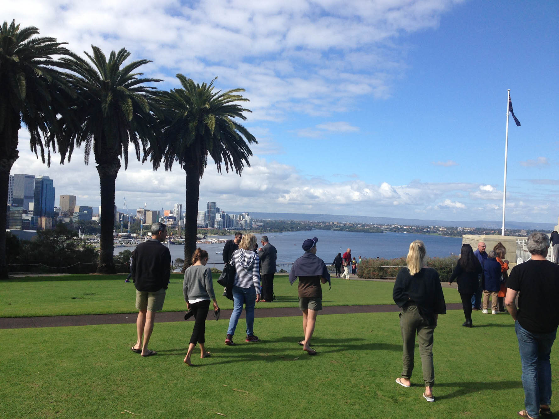
Eventually the salt plains and bushes give way to farming country and then the suburbs of Perth. Once there don’t miss the views at Kings Park which overlook Perth’s CBD and of course make sure you visit a beach or two. That Western Australian coastline is really something else. Golden sands, aqua blue water and of course, surf breaks that are legendary and did I mention the sunsets…...
AND THAT’S IT!!!
THE END.
All that’s required now is to workout how you make all your luggage manageable for the return flight…if you choose to drive the Outback Way one-way like us.
Top 5 MUST DOs
Discover Dinosaurs in Winton
Enjoy a camp oven dinner from Gem Tree station
Take the Rim Walk at Kings Canyon
Enjoy the sunset at Uluru and a sunrise at Kata Tjuta
Visit an Aboriginal Community and meet the artists in person
Discover the Explorer Centre in Laverton
See more pics of our trip by clicking below....
100 Reasons to Experience the Outback Way – A Photo Journal from Cairns to Perth – Part 1
100 Reasons to Experience the Outback Way – A Photo Journal from Cairns to Perth – Part 2
Quick Facts
Start/Finish: You can either begin or end in Winton or Laverton
Distance: 2700km
Time required: 11 days to do it comfortably
Best Time of Year: The best time to travel the Outback Way is during the cooler months: April to October.
Recommended vehicle: High clearance 4WD – but you will see 2WD’s on this journey in dry weather.
Fuel: Unleaded fuel is not available in some of areas on this journey. Opal fuel is available instead and can be safely used in unleaded vehicles. Diesel is readily available. Make sure you carry enough fuel to allow for whatever may happen. It's amazing how much more you use driving along the soft dirt, or when you check out that side track up to that hill or out to the waterhole someone mentioned...or you may encounter a problem at one of the remote roadhouses, like a broken pump (it happened to us!). It never hurts to have extra.
Caravan/Camper Trailer friendly: Yes, but recommended for OFF-ROAD models only (there’s lots of corrugations).
Accommodation options: Hotel/motel/budget rooms at main towns and tourist destinations, roadhouses, and outback stations. Full facilities and remote camping options throughout the journey.
Permits: Aboriginal Land Permits are required to travel parts of the Outback Way – call or visit the Great Beyond Visitor Centre for more information, or visit the Outback Way website for more information on planning your trip, www.outbackway.org.au.
Insurance: Don't forget travel insurance for a journey of these proportions. Click to compare travel insurance.
Car Rental: If you need to rent a car for the journey click to compare car rental.
Have you travelled this great central road yet? Would you be keen to explore some Outback travel and drive across the centre of Australia on this route?
Please Note: We travelled as guests of the Outback Way Development Board BUT all views, opinions and photos in this article are 100% my own.

Hi I’m Kate!
Mumma of 2 young 'uns. Adventurer at Heart. Lover of Tropical Queensland and avoider of Housework and Craft projects - give me the Great Outdoors any day! Come join my family and I as we Explore TNQ.
Latest Blog

Popular Posts


Follow us
@adventuremumma
Grab a copy!

This is the only guide you need if you’re interested finding the places locals love!

200+ pages of recipes, tips and camp oven cooking over the fire.
Search the blog
Archive
- Cairns 1
- Cairns Attractions 12
- Cairns Dining 10
- Cairns Esplanade 1
- Family Friendly Accommodation 9
- Activities in Cairns 21
- Beaches & Islands 14
- Cairns Events 7
- Clean Up Australia 1
- Cairns Family Tours 26
- Explore TNQ 101
- Things to do in Cairns 43
- Watersports 26
- Free things to do 9
- Hikes & Walking Trails 10
- Great Barrier Reef Tours 13
- Hot Air Ballooning 1
- Camping Adventures 17
- Family Road Trip 17
- Outback Australia 11
- Parks & Playgrounds 5
- Things to do in Port Douglas 18
- Cairns Northern Beaches 7
- Port Douglas Activities 10
- Travelling with Family 27
- Nature Play 24
- Aboriginal Experiences 2
- Gift Ideas 6
- Freshwater Swimming Holes 10
- Health & Wellbeing 12
- Rainforest Adventures 19
- Family Tips 19
- In the Media 19
- Things to do in Mission Beach 3
- Waterfalls 10
- Sea Kayaking 1
- Explore Australia 21
- Gear Reviews 5
- Gold Coast Activities 2
- Insider Guide 11
- Port Douglas Reef Tours 4
- Things to do in Melbourne 2
- Outback Tours 1
- Port Douglas Dining 6
- Follow the Sun 4
- Kuranda Train & Skyrail 5
- Daintree / Cape Trib Rainforst 4
- Daintree Activities 2
- Things to do in the Daintree 1
- Travel Photography 4